With applications in defense, environmental monitoring, citizen water research, offshore renewables, aquaculture, and academia, the JaiaBot aquatic drone offers unprecedented affordability and reliability for marine data collection. Designed for citizen scientists and researchers alike, this simple, rugged, and scalable multi-vehicle system uses Digi XBee XR PRO for real-time, low-power communication from the ocean to the cloud.
Democratizing Aquatic Data Collection
For decades, use of autonomous underwater vehicles (AUVs) has largely been restricted to organizations with high-stakes problems and deep pockets. Navy teams use them to detect mines, survey the seafloor, and extend underwater surveillance. Offshore energy companies deploy them to inspect pipelines, cables, platforms, and subsea equipment. Scientists and environmental organizations use AUVs to map ocean floors, survey coral reefs and collect sea life data in places too deep, dangerous, or expensive for humans to reach. Their value is unquestioned, but complexity and cost have limited broader adoption and deployment.
That has created a compelling opportunity for smaller, lighter, and more affordable solutions that open up new markets and applications. “There are vast numbers of organizations that want and need the ability to cost-effectively collect actionable data about rivers, lakes, and oceans,” said Ian Estaphan Owen, CEO and cofounder of Jaia Robotics. “We’re aiming to democratize aquatic data collection with simple, safe, and affordable technology that can gather data, deliver payloads and keep people out of dangerous situations.”
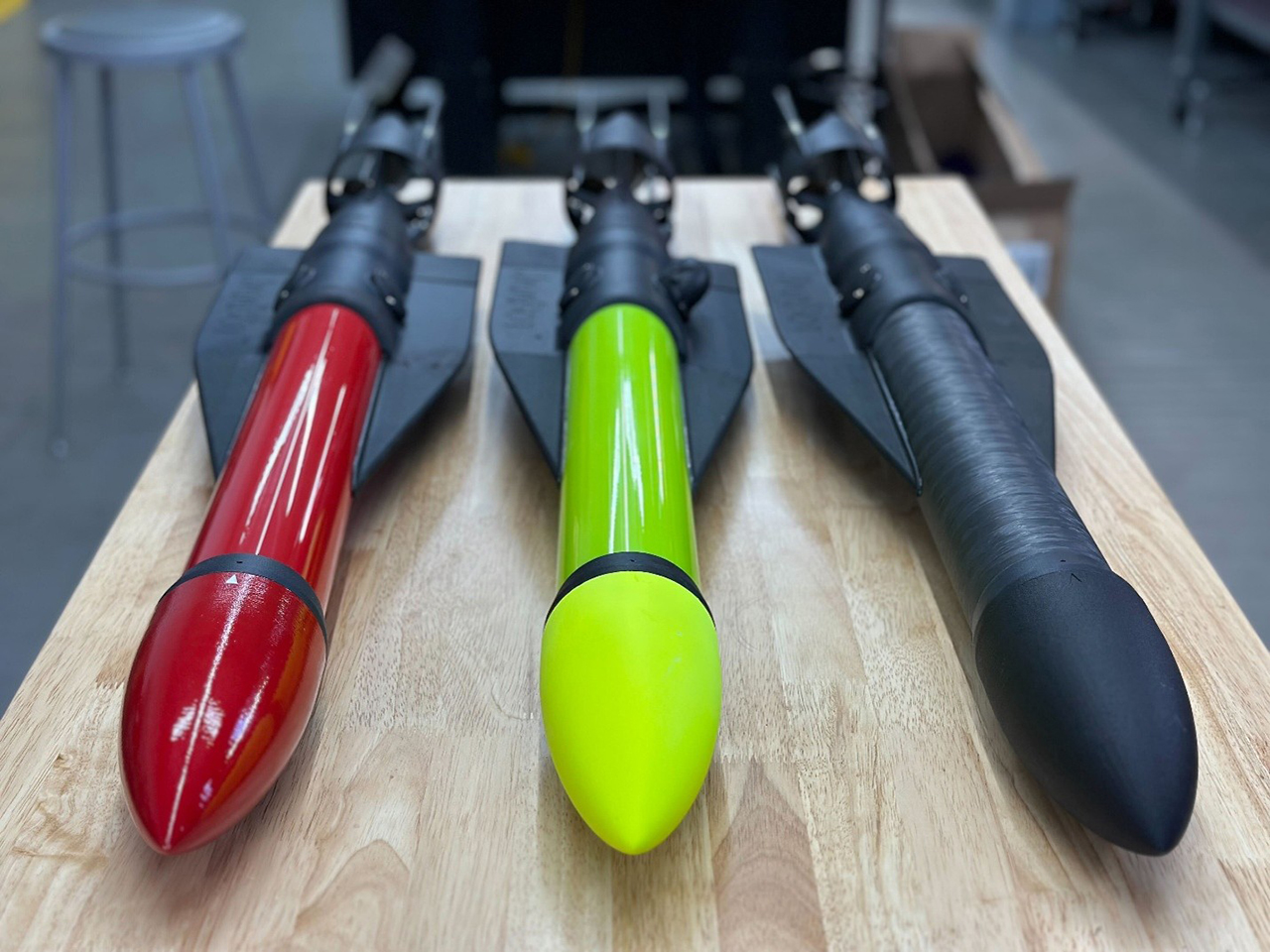
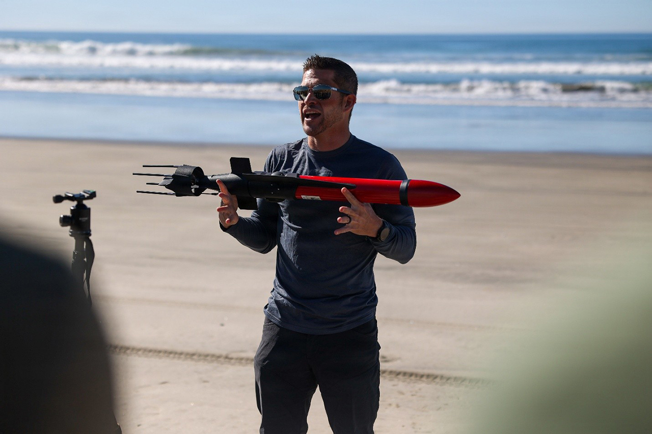
Enter Jaia Robotics and its flagship aquatic drone, JaiaBot, the micro-sized, high-speed aquatic drone for data collection and payload delivery. The JaiaBot is ultraportable and can be launched from almost anywhere, including the surf zone, riverbank, dock, or watercraft. And after it captures its multitude of data points, the JaiaBot transmits that data to the cloud using the Digi XBee XR PRO 900 MHz RF module.
Flexible, Customizable, Affordable
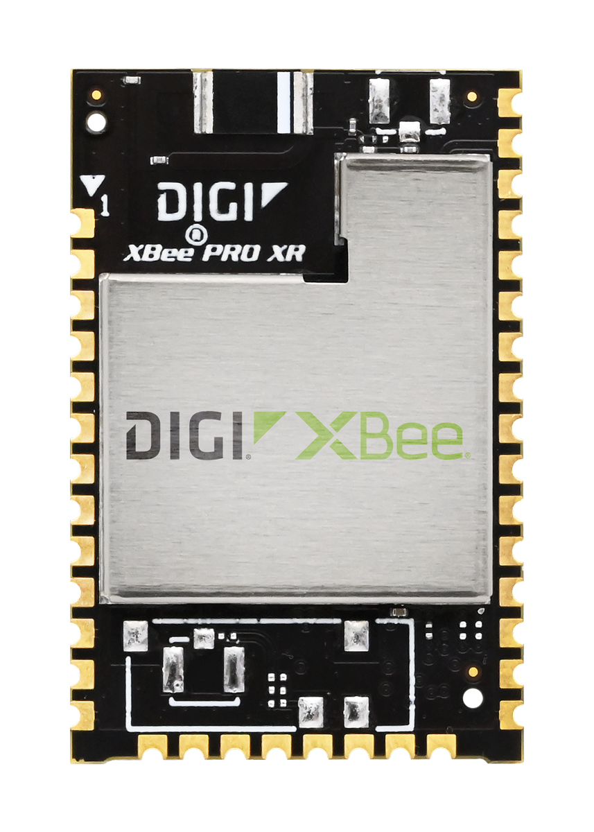 OEMs turn to Digi XBee XR PRO when they need low-power, mission-critical wireless connectivity, especially in harsh environments. With RF line-of-sight ranges up to 65 miles and strong interference blocking, these modules are excellent for applications requiring the combination of range, data redundancy, and data reliability.
Digi XBee XR can be configured easily using Digi XBee Studio software or using Digi’s simplified AT or API command sets. They are pre-certified for use in multiple countries and include integrated antennas, removing the burden of RF development/support costs and enabling fast time to market for OEM designs.
“Like the JaiaBot itself, the Digi XBee XR PRO provides a unique combination of flexibility, customizability, and affordability for our aquatic drone,” said Estaphan Owen. “Our integration process was straightforward with a clear interface, so we did most of that work ourselves. When we ran into any issues, Digi was very quick to respond with answers and assistance.”
The JaiaBot can capture a range of user-selectable data about various conditions, such as surf heights, water depths, bottom type, currents, wind speeds, water pH, turbidity, temperature, and pressure. When the JaiaBot resurfaces, it can transmit that data to the customer’s data center or through the Jaia cloud. The autonomous drone can travel up to 7 miles, capture data in depths up to 100 meters and be on station for up to 30 hours, with a data transmission range of 200-2,000 meters.
Easy Operation, Efficient Data Capture
In the water, JaiaBot supports an impressive range of high-value applications that span numerous disciplines.
- Military – Troops can quickly, safely, and covertly survey shoreline conditions for amphibious landings without the risk of sending personnel into high-risk situations or the time and cost involved in manually recording data. Additionally, engineers can discreetly assess river-crossing alternatives in minutes.
- Weather – “Hurricane hunters” can place the JaiaBot in a sonobuoy canister and drop it from 10,000 feet. After measuring wind speed on its descent, it hits the water, performs its measurements (such as salinity, temperature, and pressure), and transmits the data to the National Oceanic and Atmospheric Administration (NOAA) for timely, accurate forecasting. “This data helps the NOAA improve its prediction models,” Estaphan Owen explained, “and that can have real impact on preparation and evacuation plans.”
- Environmental monitoring – Collecting data on the effects of climate change and other factors on sea life and water quality is a key use case. With JaiaBot, research groups have affordable tools to measure the health of our oceans, coastal waters, estuaries, reservoirs, rivers, and lakes, as well as marine life. “Wildlife and environmental advocates are big supporters of Jaia because we’re giving them good assessments of the health of sea life and aquatic conditions,” Owen said.
- Fisheries research – The Northeastern Regional Association of Coastal Ocean Observing Systems (NERACOOS) is hoping to use JaiaBots to help Cape Cod fishermen identify optimal depths for fishing. In New Bedford, Massachusetts (the largest fishing port in the U.S.), the aquatic drones are exploring ways using their eDNA variant to identify the location and density of scallops.
- Municipal infrastructure – The U.S.G.S. relies on JaiaBots to track the salinity of the Delaware River to prevent damage to water-extraction infrastructure that could lead to weeks of repairs and disruption of water service to 1.5 million people.
"With its lower cost, low-power operation, and durability, Digi is a great choice for our vehicles,” said Estaphan Owen. “And once it’s deployed, we don’t need to change configurations; it just works. Now we can open up aquatic data capture to a much broader market."